Maps of Athens including the city center and suburbs
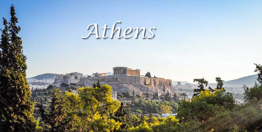
Athens is the capital of Greece, it is surrounded by the mountains: Aigaleo to the west, Parnes to the north, as we see on the map, Penteli mountain located to the northeast, and Hymettus to the east. Most are of limestone or marble, from which the ancient buildings of the city were constructed.
The plain on which the city of Athens lies, contains isolated limestone hills, including Lycabettus hill, which rises 339 m (1,112 ft) above the sea, and the flat-topped Acropolis, 156 m (512 ft) high, around which the city grew. Athens during the last 25 years has been extend to almost all directions. The city its self is on the Ilissus River, which is dry for much of the year and carries abundant water only after winter storms.
Athens has a typical Mediterranean climate, with hot, dry summers and mild winters. Rainfall is slight. In general is dry with low humidity. Over the past decades, Athens suffers from air pollution and smog caused by the lack of green and the excessive traffic of all kinds of vehicles.
Especially in recent years fires in the surrounding mountains of Parnitha and other forest areas resulted a worsening of the air pollution due to the luck of oxygen pockets (trees and forest). The problems deteriorate during the winter with many floods in several areas caused by the luck of trees on the mountains and the uncontrolled construction that closed many drains that served various streams.
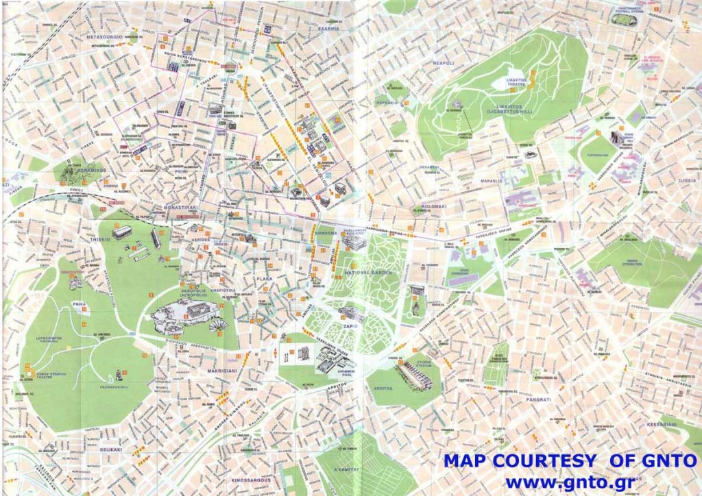
MAP OF ATHENS CENTER
Central Athens, with the municipalities of Athens, Philadelphia-Chalkidona, Galatsi, Zografou, Kaisariani, Vyronas, Ilioupoli and Dafni-Ymittos.
North Athens, with the municipalities of Penteli, Kifissia, Metamorfoseos, Pefki-Lykovrysi, Maroussi, Psychiko-Filothei, Cholargou-Papagou, Nea Ionia, Heraklion, Vrilissia, Ag. Friday and Chalandri.
South Athens, with the municipalities of Glyfada, Elliniko-Argyroupoli, Alimos, Nea Smyrni, Moschato-Tavros, Kallithea, Paleo Faliro and Agios Dimitrios.
Western Athens, with the municipalities of Egaleo, Peristeri, Petroupoli, Chaidari, Agia Varvara, Ilio and Ag. Anargyron – Kamaterou,
Piraeus, which includes the municipalities of Piraeus, Korydallos, Nikaia-Ag. Ioannis Renti, Keratsiniou-Drapetsonas and Perama.
The wider area of the city of Piraeus, which consists of the homonymous municipality and four more Kallikratikos (formerly six) municipalities, although usually referred to as part of the southwestern part of the Capital has bibliographic references and as a distinct urban complex in the context of the “Major Capital” or the “Capital Region”.
The Greater Athens – Piraeus Area should not be confused with the Metropolitan area of Attica, of which it is part
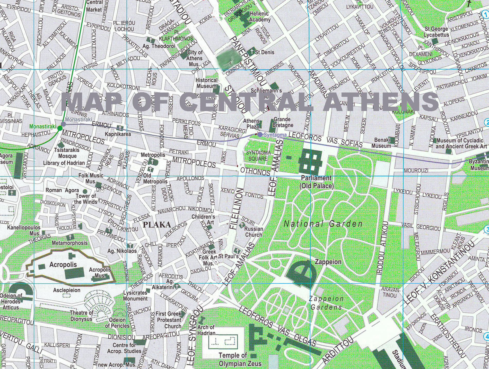
Street map of Athens
STREET MAP OF ATHENS
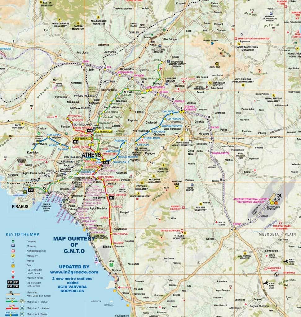
Greater Athens map
GREATER ATHENS MAP
Where is Athens located
Athens, the capital city of Greece, is located in the southern part of the country, in the region of Attica. It sits on the Attica Peninsula, bordered by the Aegean Sea to the east.
For those who want to see the location of Athens in Greece, click on the map below :
